Georgia's weather forecasting capabilities have undergone a remarkable transformation in recent years, with modern technology providing more accurate and timely weather information than ever before. This technological advancement has significant implications for public safety, economic activities, and daily life throughout the country. Understanding how these systems work and their impact on Georgian society helps appreciate the importance of continued investment in weather technology and infrastructure.
The evolution of weather forecasting technology in Georgia reflects broader global advances in meteorological science and technology. From simple weather observations to sophisticated computer models and satellite systems, the tools available for understanding and predicting weather have become increasingly powerful and accurate. This evolution has been driven by the need for better weather information to support various sectors of the economy and protect public safety.
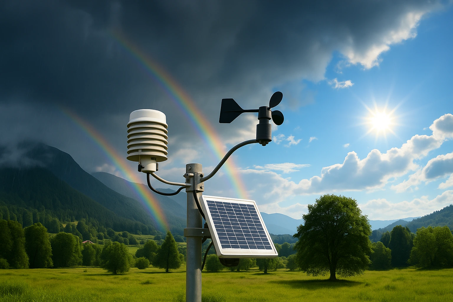
Modern weather monitoring systems in Georgia include a network of automated weather stations, radar systems, and satellite monitoring capabilities that provide comprehensive coverage of the country's diverse climate zones. These systems collect data on temperature, humidity, wind speed and direction, precipitation, atmospheric pressure, and other weather parameters with high precision and reliability. The data collected by these systems forms the foundation for accurate weather forecasting and climate research.
Satellite technology and its role in Georgian weather forecasting includes various satellite systems that provide valuable information about weather patterns and conditions throughout the region. Geostationary satellites provide continuous monitoring of weather conditions over large areas, while polar-orbiting satellites provide more detailed information about specific regions. These satellite systems help forecasters track weather systems, monitor severe weather events, and provide early warnings for dangerous conditions.
Computer modeling and weather prediction involves sophisticated mathematical models that simulate atmospheric conditions and predict future weather patterns. These models use data from weather stations, satellites, and other sources to create detailed simulations of atmospheric processes. The accuracy of these models has improved significantly in recent years, providing more reliable forecasts for various time periods and locations.
Real-time weather data and its applications include various uses of current weather information for different sectors and activities. Transportation systems use weather data to optimize routes and schedules, while agricultural operations use weather information to plan planting, irrigation, and harvest activities. Emergency services use weather data to prepare for and respond to weather-related emergencies.
Weather warning systems and public safety include various mechanisms for alerting the public to dangerous weather conditions. These systems provide timely warnings for severe weather events such as storms, floods, and extreme temperatures. The effectiveness of these warning systems depends on accurate forecasting, reliable communication systems, and public awareness of how to respond to warnings.
The economic impact of improved weather forecasting includes various benefits for different sectors of the economy. More accurate weather information helps businesses make better decisions about operations, resource allocation, and risk management. Transportation companies can optimize routes and schedules based on weather conditions, while agricultural operations can improve crop management and reduce weather-related losses.
Weather technology and climate research includes various applications of weather data and technology for understanding long-term climate patterns and trends. Climate research uses historical weather data to identify patterns and trends that help predict future climate conditions. This research is essential for understanding the impacts of climate change and developing adaptation strategies.
International collaboration in weather technology includes various partnerships and programs that help Georgia benefit from international expertise and resources. Collaboration with international meteorological organizations provides access to advanced technology, training, and research opportunities. These partnerships help ensure that Georgia's weather forecasting capabilities remain current with international standards.
Public access to weather information includes various channels and platforms that make weather information available to the general public. Websites, mobile applications, and traditional media provide weather forecasts and information to users throughout the country. The accessibility of this information helps individuals and organizations make informed decisions about activities and planning.
Weather technology education and training includes various programs and initiatives aimed at developing expertise in weather forecasting and technology. Educational programs provide training for meteorologists, technicians, and other professionals involved in weather forecasting and monitoring. These programs help ensure that Georgia has the expertise needed to operate and maintain weather technology systems.
Future developments in weather technology include various trends and innovations that are likely to shape weather forecasting in coming years. Artificial intelligence and machine learning are being applied to weather forecasting to improve accuracy and efficiency. New satellite systems and monitoring technologies are being developed to provide more detailed and comprehensive weather information.
The role of weather technology in disaster preparedness includes various applications for preparing for and responding to weather-related disasters. Early warning systems help communities prepare for severe weather events, while monitoring systems provide information needed for effective response and recovery efforts. The integration of weather technology with emergency management systems helps ensure coordinated and effective responses to weather-related emergencies.
Weather technology and sustainable development includes various applications for supporting sustainable development goals and practices. Weather information helps optimize renewable energy production, improve water management, and support sustainable agricultural practices. The integration of weather technology with environmental monitoring systems helps track and manage environmental changes and impacts.
Community engagement and weather technology includes various programs and initiatives aimed at involving communities in weather monitoring and forecasting activities. Citizen science programs engage volunteers in collecting weather data and observations that contribute to forecasting and research efforts. Educational programs help communities understand weather patterns and how to respond to weather-related challenges.
The integration of weather technology with other systems includes various applications that combine weather information with other data sources and systems. Transportation systems integrate weather data to optimize operations and improve safety. Agricultural systems use weather information to optimize crop management and resource use. Energy systems use weather data to optimize production and distribution of renewable energy.
Quality assurance and standards in weather technology includes various measures and procedures for ensuring the accuracy and reliability of weather information and technology systems. Regular calibration and maintenance of weather monitoring equipment ensures accurate data collection. Quality control procedures help identify and correct errors in weather data and forecasts. International standards and best practices help ensure that Georgia's weather technology meets international quality standards.